Define the coverage outcome.
Area, cadence, variables, operating limits, and data format.
 OceanStrideContact
Autonomous coastal observation
OceanStride is developing DriftWing—a low-energy profiling glider designed to ride depth-varying currents, make limited course corrections, and return useful coastal data.
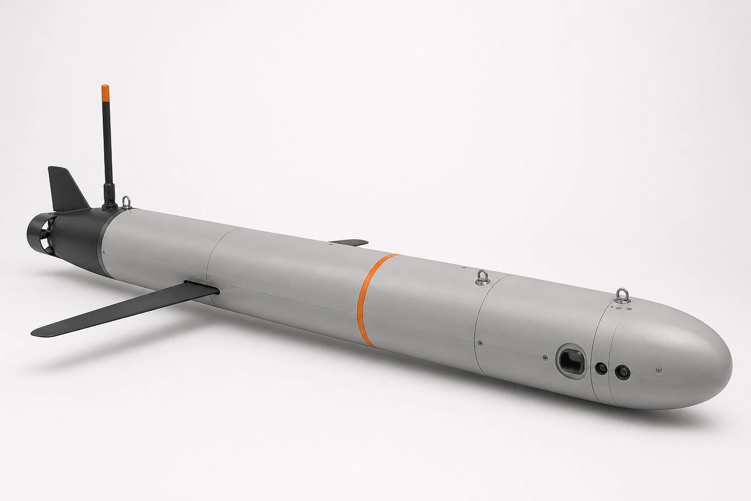
01 / DriftWing
The proposed vehicle uses a slender pressure hull, fixed wings, variable buoyancy, and a compact surface communications mast. Active propulsion is reserved for short corrections rather than continuous travel.
02 / Modeled evidence
A causal study replayed historical 2013 NOAA model analyses across 21 defined missions. It is a planning result—not field performance and not a claim of a validated vehicle.
The simulator, historical-current data workflow, and MATLAB/C/CUDA CPU-fallback consistency checks exist today. The CUDA GPU path is authored but has not yet been compiled or benchmarked. Numerical agreement verifies implementation consistency, not the accuracy of the vehicle model.
Read the full technical note03 / Operating model
The commercial hypothesis is to deliver reliable monitoring outcomes rather than sell a vehicle alone. OceanStride would plan missions, supervise the asset, quality-control the observations, and deliver usable profiles.
Area, cadence, variables, operating limits, and data format.
Routing, vehicle health, recovery awareness, and re-planning.
Quality control, reporting, and repeatable mission records.
Initial customer hypothesis
DriftWing is intended to improve spatial and depth coverage between vessel surveys. The beachhead, purchasing model, and mission economics still require direct customer discovery.
04 / Development
Progress is organized around evidence gates: prove the mechanism, characterize it in a tank, then earn a controlled-water trial.
Customer discovery, marine engineering review, requirements, failure modes, and a testable vehicle specification.
Measure buoyancy actuation, energy per cycle, sensing, communications, control electronics, and pressure integrity.
Establish stability, repeatability, operating limits, telemetry, recovery procedures, and acceptance criteria with a test partner.
05 / Company
OceanStride is an early-stage project led by Ben Malvern. Work to date includes mission simulation, forecast-data integration, routing logic, and native-code implementation.
The company is seeking marine engineering review, customer conversations, and an appropriate future test partner.
Speak with Ben